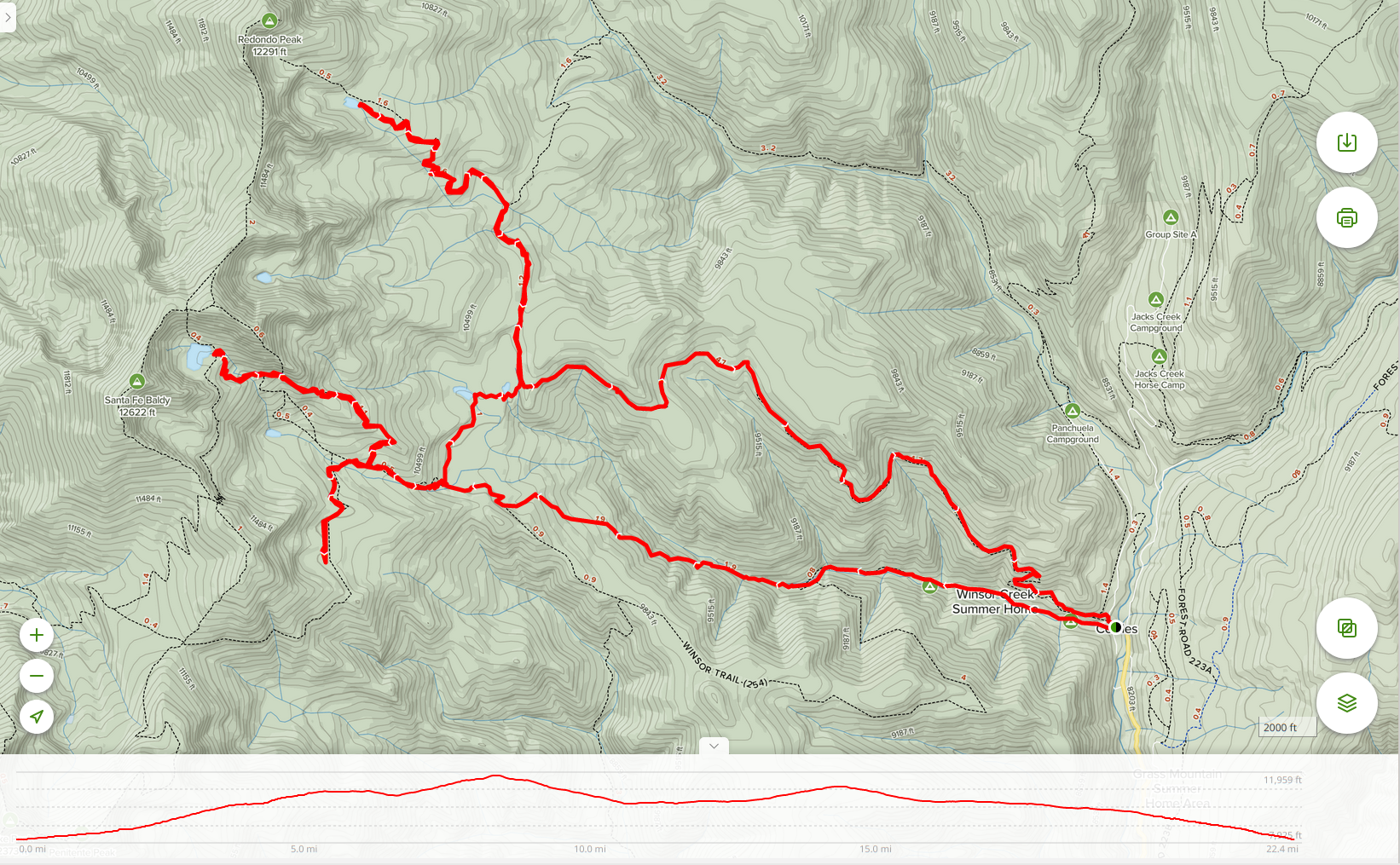
We’ve been in New Mexico for over a year by now, and although we’ve been up in the mountains quite a bit for trail running and day hiking, we’ve not yet done any overnight backpacking trips. It seemed like it was time to change that, and after quite a lot of reviewing, we decided to explore part of the Pecos Wilderness. The main trailheads for the Pecos are just over an hour’s drive from home, and we decided to head up to Cowles and then do a 22 mile “loop with side arms” that would take us to 4 of the larger lakes on the east side of the main Sangre de Cristos ridge.
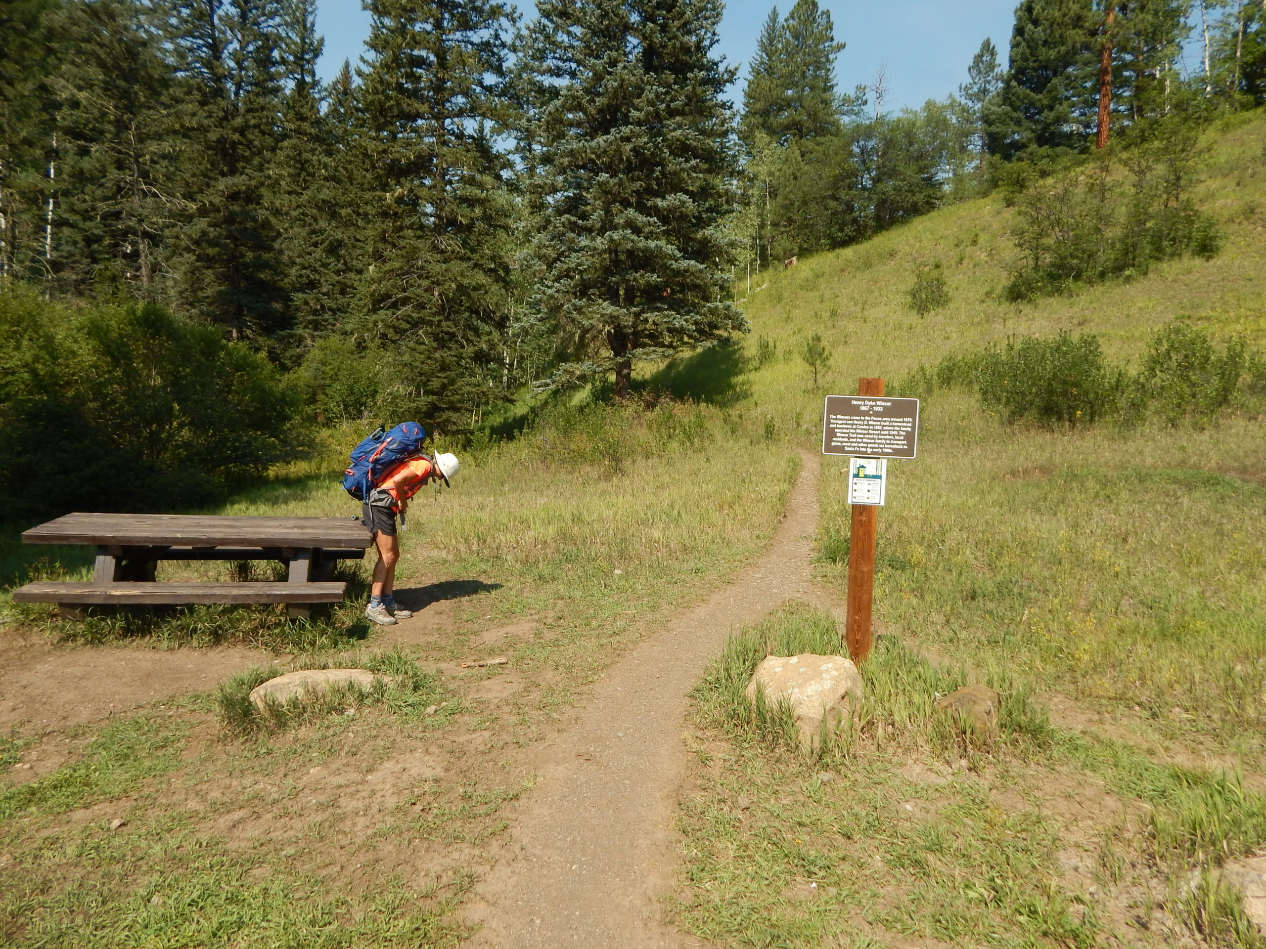
After getting a flat tire on the way out of Galisteo, we arrived at the trailhead by about 10:30am. It didn’t take too long to get our packs on and walk onto the clearly labelled Winsor Trail.
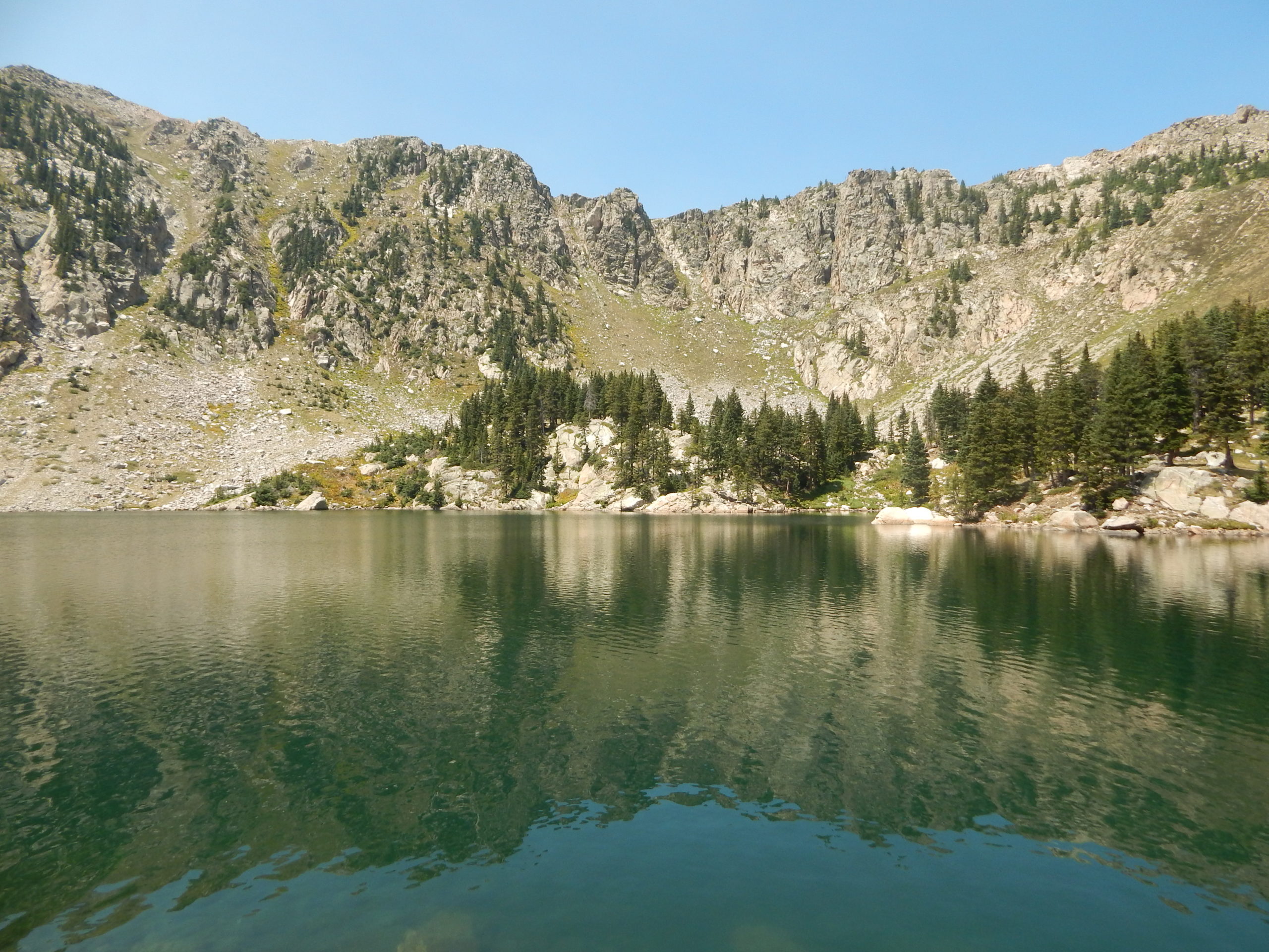
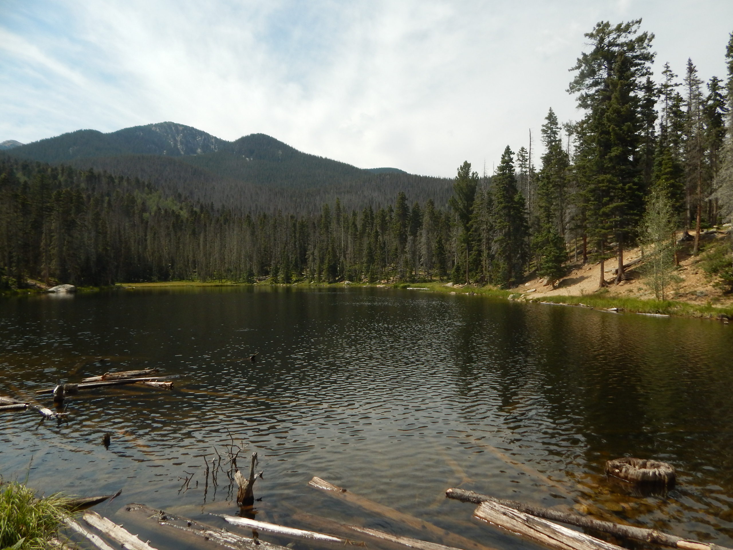
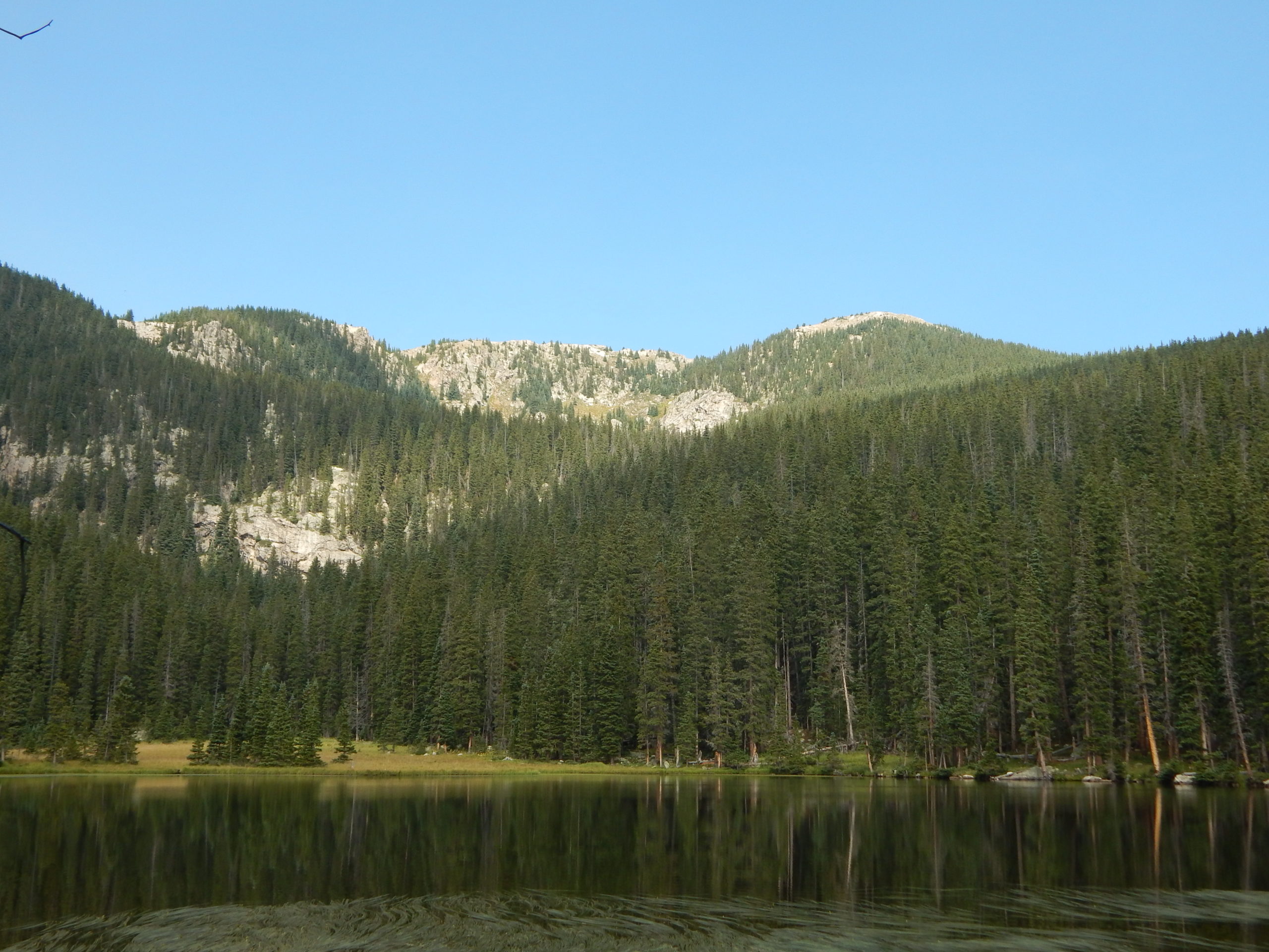
A navigation error (aka “Paul thinking he could remember the route, so he didn’t bother to look at the map”) less than a mile in took us onto a very rough and tricky “boot trail”, with lots of low trees and tricky areas. Although it seemed to be a real trail, after about 1/2 a mile or so, it petered out, and we were forced to look at the map and realize that we were in the wrong place. We backtracked a bit, crossed the creek, and scrambled maybe 50 yards up a steep slope to get ourselves onto the real Trail 261. This is technically closed right now, although for no apparent reason: it is well maintained, free of downed trees and a nice steady grade. We climbed about 1800′ to meet the Winsor Trail (which takes a more circuitous route to reach the same spot), and then continued along it to a larger creek crossing and the intersection with the Skyline Trail. Another 600′ of climbing and another missed turn finally took us to our first lake – Spirit Lake – and our first campsite, at 10,809′.


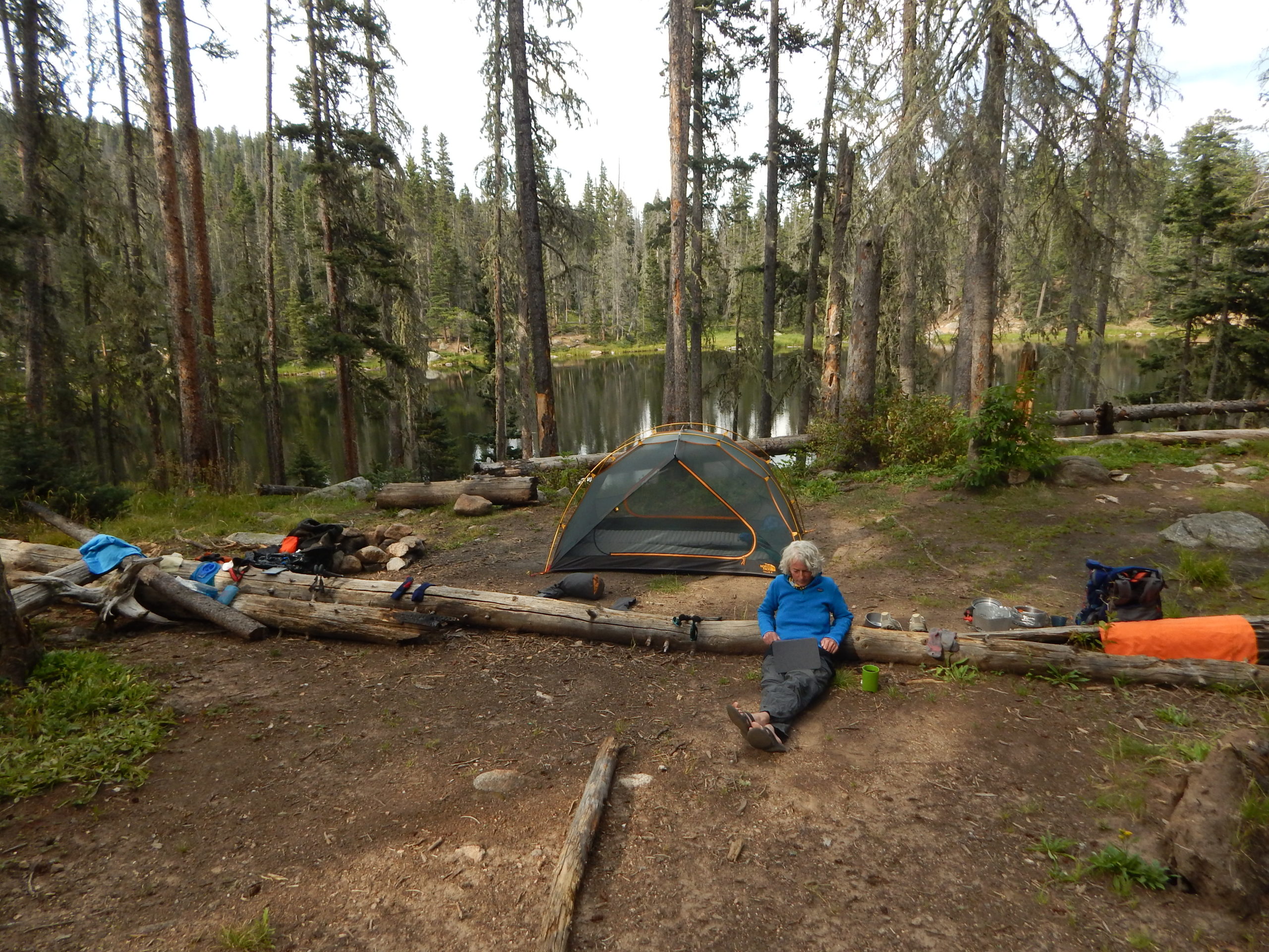
We were entirely alone at Spirit Lake for the night, but only after a couple arrived at the lake with their German Shepherd (off leash). The dog saw one of the many deer that seem to like to spend time near the lake, and took off in a crazy chase. It’s owners eventually got it back, fortunately uninjured. As a city dog, I suspect it had no idea what it was up against chasing a bull deer with significant antlers. They splashed in the lake for a bit, and then headed back.
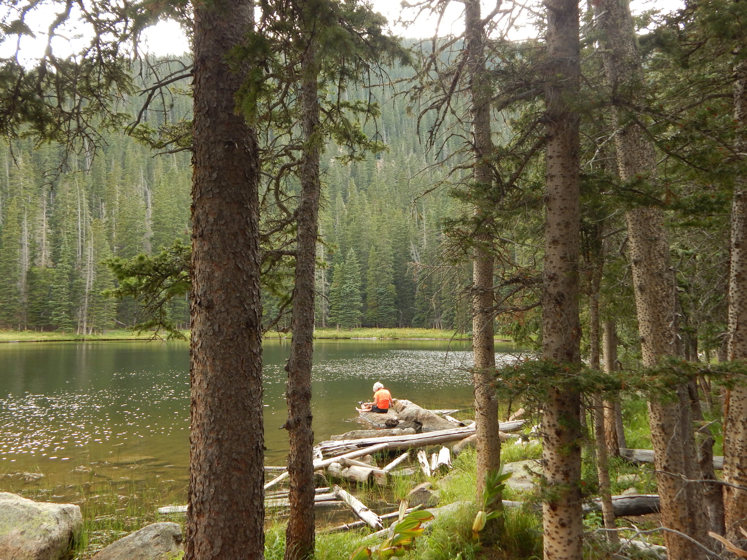
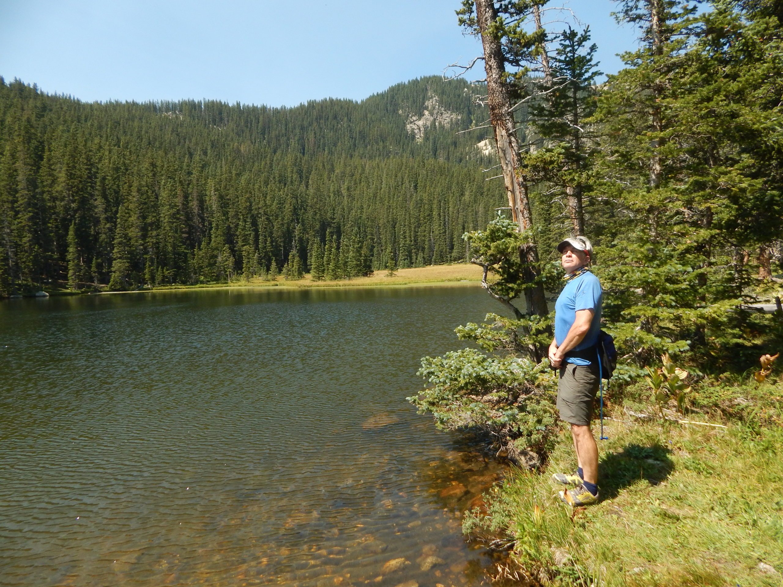
The next day we packed up, and started walking up towards Lake Katherine, the high point of the trip at 11,742′. We didn’t know that the trail was technically abandoned, which meant there were a lot of downed trees to cross over or walk around. After a mile or so, the trail got much steeper as it climbed up to meet the newly-named Skyline Trail, and then we switch-backed up some more to finally get to the lake. And what a lake it was! Crystal clear blue waters rimmed by steep mountain slopes (the back of Santa Fe Baldy).
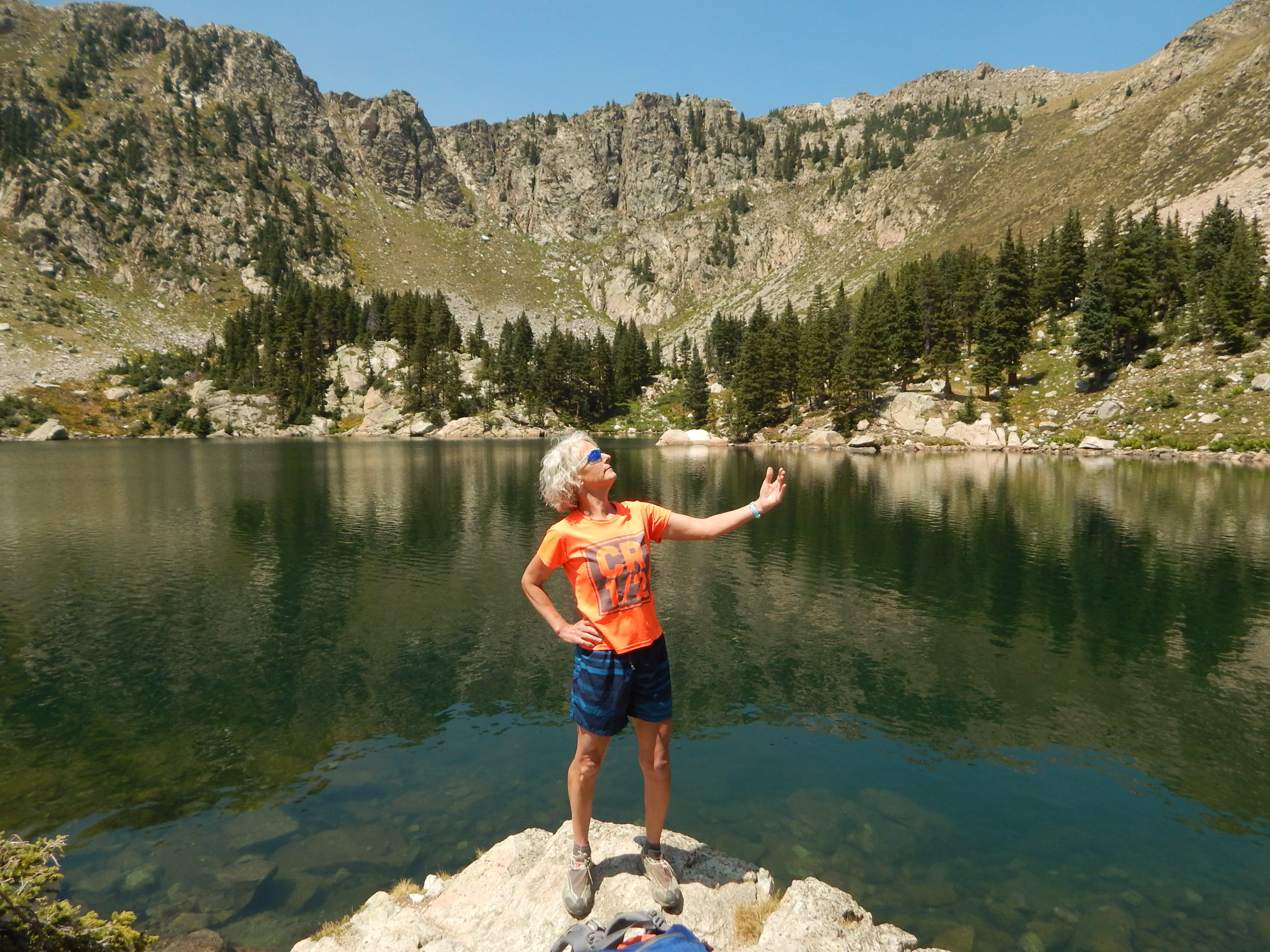
The water was very cold but both Julie and I took a full plunge and I even “swam” a little. We sat around on rocks in the warm sun afterwards, ate a snack, and then headed back down. We loved it so much that we plan to come back with wetsuits, doing a somewhat easier hike from the Santa Fe Ski Basin on the other side of Baldy, and actually enjoy a “real” swim in this magnificent lake.
This time we took the Skyline Trail down, which was steeper and much less shaded than the route we had taken up. Eventually we met back up with the Winsor Trail, and after a very short section, were back at the junction that allowed us to turn north towards Stewart Lake.
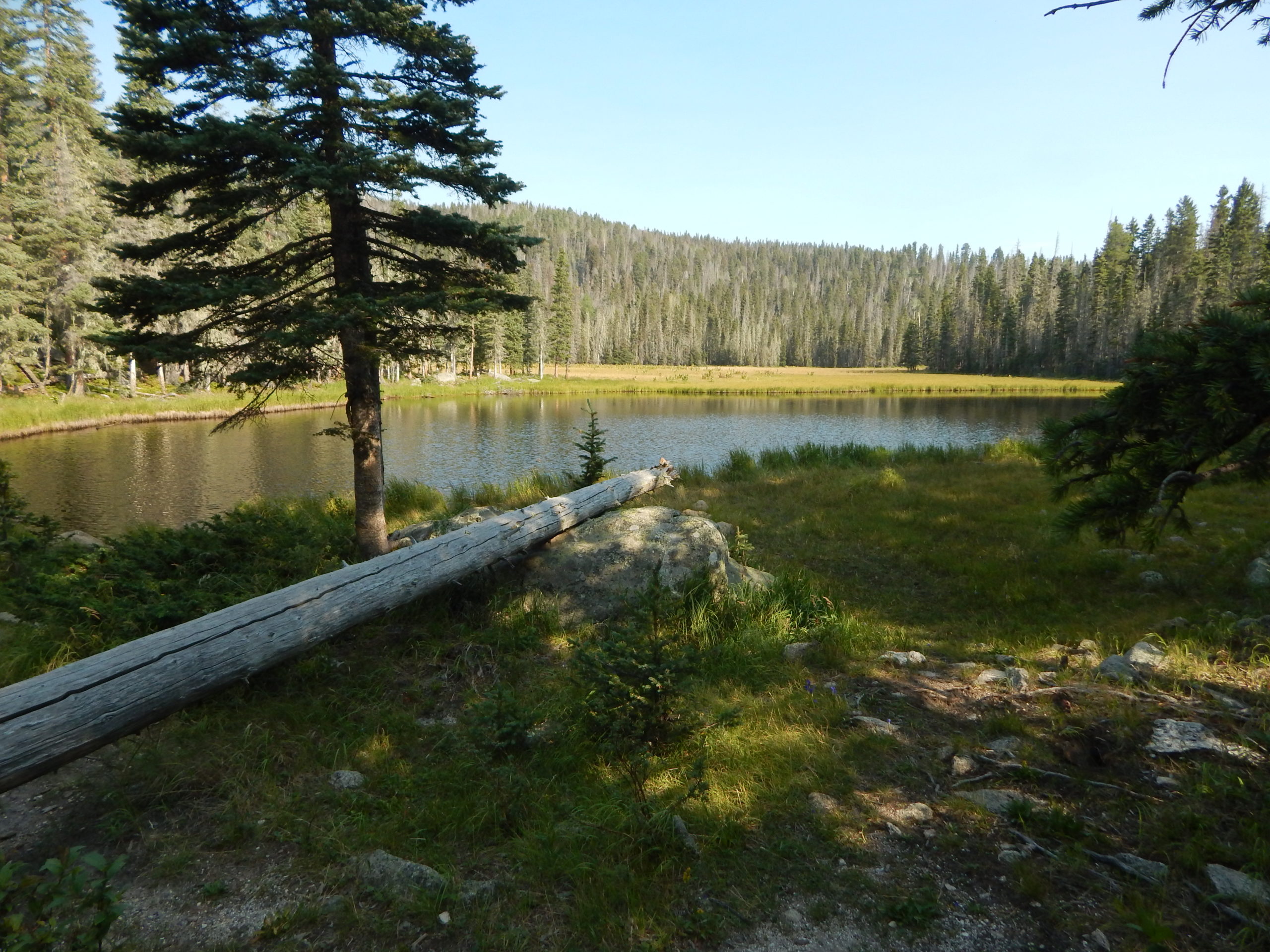
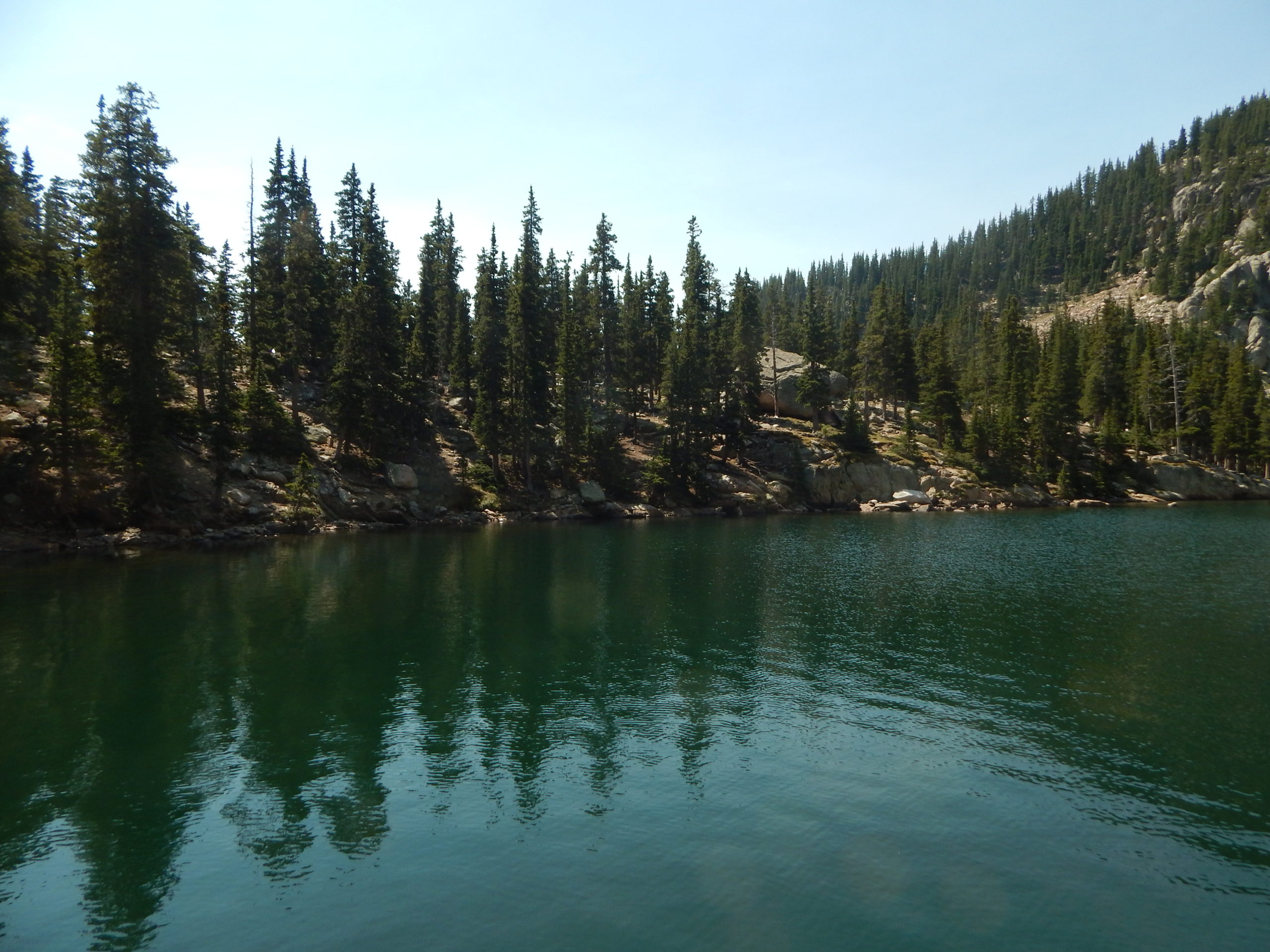
Stewart Lake (10,232′) was pleasant enough. We found a nice campsite overlooking the lake (though probably closer than the official 200′ distance). Julie swam in the lake for a bit, and chipmunks kept threatening any and every food item that we had with us.
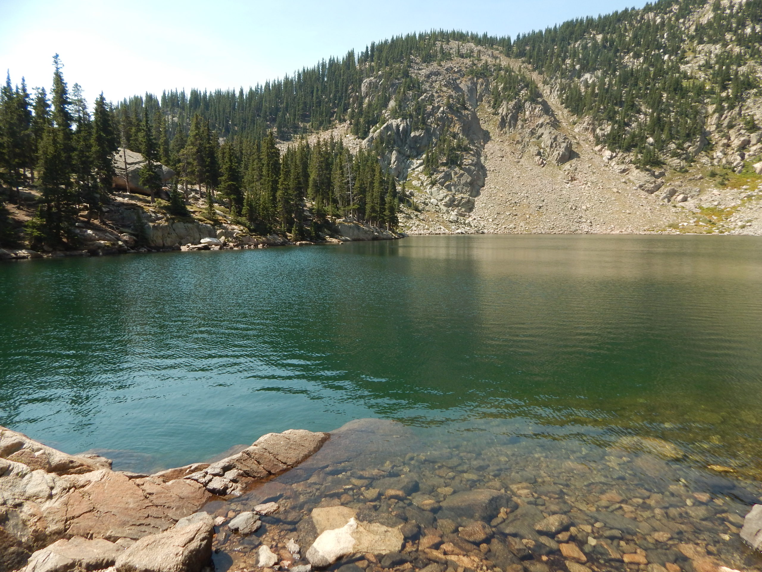
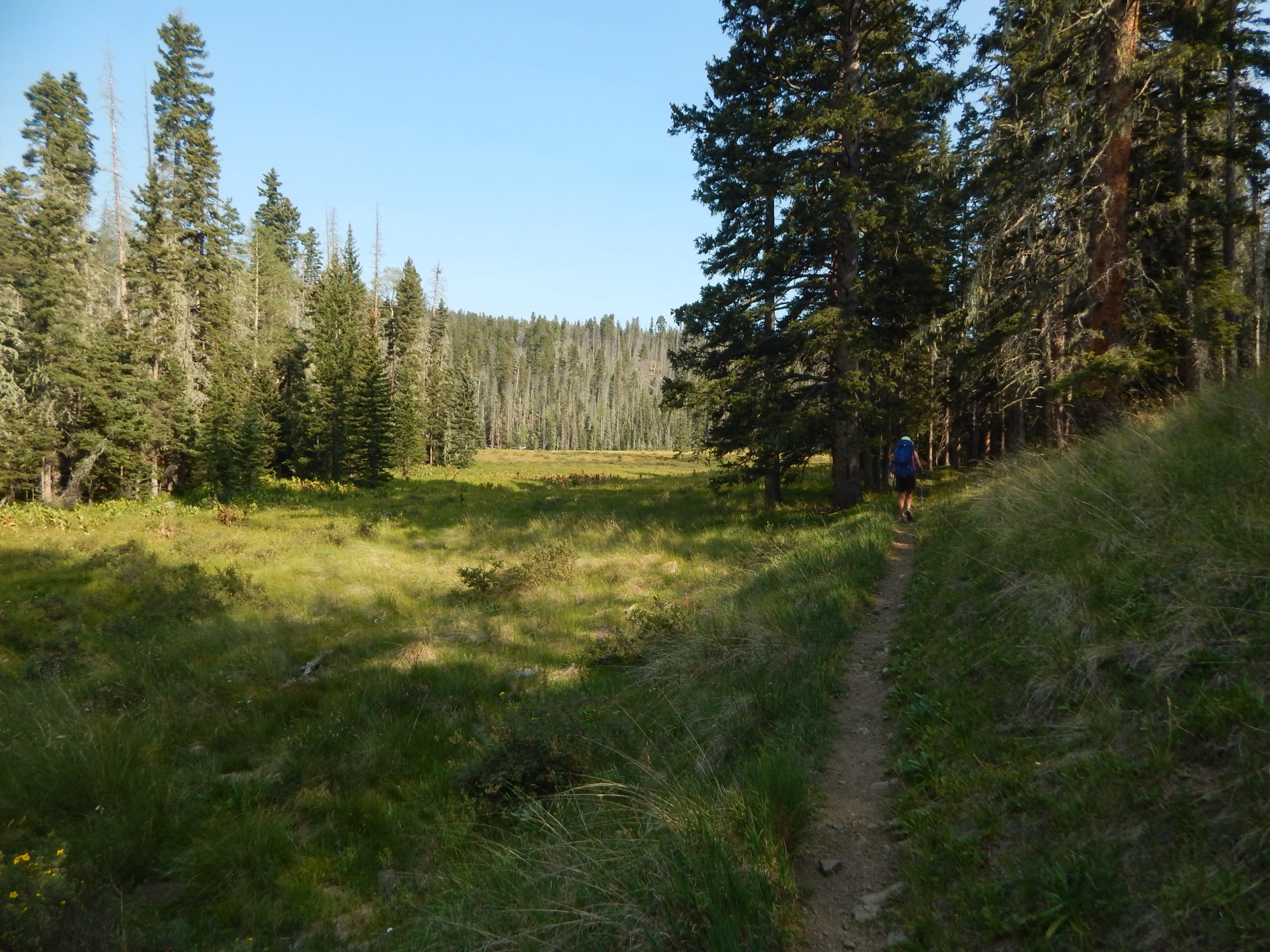
The next day we packed up and hiked a very pleasant and easy half mile to so to the junction with the Winsor Ridge Trail. We turned north, dropped our packs in the trees (removing the food and hanging it up, to discourage animals from trying to get into them), and continued with just a small day pack for the walk up to Thompson Lake 11,091′).
This turned out to be very nicely graded steady ascent all the way up. We met a woman with two young children who had been camped up there for 3 nights, now heading back to where we had started from. Thompson wasn’t particularly remarkable, but after we found a warm spot in the sun was a nice place for a mid-morning snack and talk with the mountains as our backdrop.
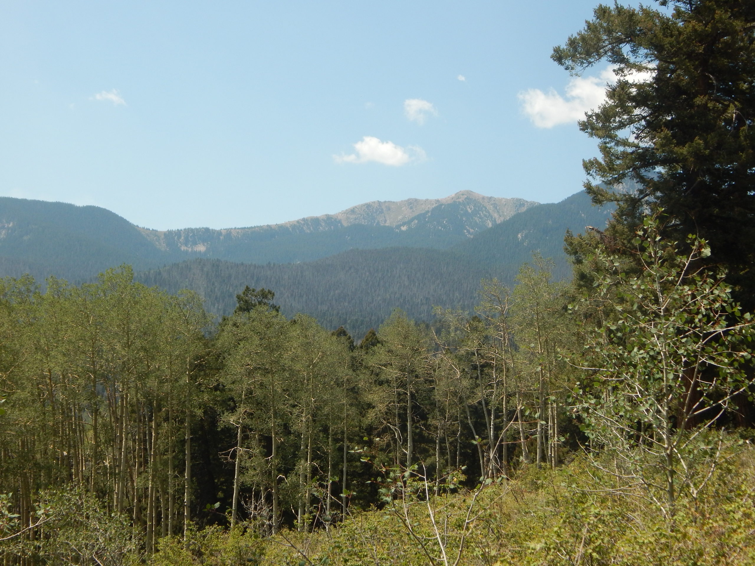
We headed back down the way we had come up, and about an hour later re-united with our packs to begin the long descent down the Winsor Ridge Trail. This was initially much flatter than I expected, and we soon reached an area with magnificent open views back to the main ridge of the Sangre de Cristos, with Santa Fe Baldy as the high point, and where we had been just the day before at beautiful Lake Katherine.
We trudged down the Ridge trail as the day warmed up. There was a lot less shade on this south-facing slope than we had coming up Trail 261, and we were glad to be descending rather than ascending (there was very little water along the 5 mile, 2000′ elevation change). Eventually, we began to see a few houses (mostly summer cabins) in the Pecos Valley in front of us, and sometime after that, could see the green-roofed cabins that we knew were on the road to the trailhead. A final descent to the road took us by a forest service campground, which was quickly filling up on this Friday afternoon. We started walking the mile or so back up the road to the trailhead, but quickly decided to drop the packs in the shade, leave Julie to filter some water from the creek (we were very thirsty), and I walked back up to get the car.
On the way home, as we turned right in Pecos village, we could finally see the huge column of smoke from the Medio forest fire that was burning on the other side of the Sangre de Cristos. It was remarkable, and a bit scary. 30 minutes later, after picking up some fresh Colorado peaches and a couple of plums, not to mention a cold beer, we were back home.